First steps on the mapping of structures built without a construction permit in Pristina
As part of the “Online Transparency of Pristina Municipality” project, EC Ma Ndryshe has developed and tested a methodology for the identification and mapping of structures built without proper construction permits. The primary objectives of this strategy are the on-site scanning of constructions, identification and recording of violations, and presentation of their expansion on the map. The purpose of identification is a disclosure of construction violations in Pristina as well as to raise the level of transparency from the Directorate of Urban Planning, Construction, and Environmental Protection in the municipality of Pristina.
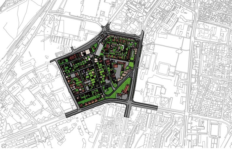
Key components of this methodology are the determination of the factual situation on the ground, an analysis of the latest regulatory plan of the attended neighborhood (but also of the detailed plans where necessary), other forms of documentation (photos, etc), analysis of permits issued for each structure in the treated neighborhood and permit applications, data extraction from the records of the Construction Inspection and from the Cadastre and Property registry. The testing of this methodology was carried out in the Peyton quarter of Pristina, whereas other data was partially collected through applications for access to public documents from respective departments in the municipality of Pristina. The new strategy for mapping and data collection in the pilot neighborhood has been handed over to the Directorate of Urban Planning, Construction and Environmental Protection of the Municipality of Pristina, with the request for its implementation and further amendments. Read press release